


Historic UN Decision: World Map to Change


The United Nations (UN) General Assembly has made a historic decision. The resolution, spearheaded by African countries and brought to the international public agenda under the name 'Correct the Map', was approved with the 'yes' vote of 164 countries in the General Assembly vote. With the adopted decision, projections that reflect the actual surface measurements of countries as closely as possible to their ratios will be accepted.

Historic Decision: The World Map is Undergoing a Change.
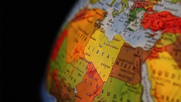
The UN General Assembly has approved a bill encouraging the use of the Equal Earth map, which most accurately reflects the true surface areas of countries. The initial proposal to change the world map came from African countries. These nations launched a campaign called 'Correct the Map'. In the vote held at the General Assembly, 164 countries voted 'Yes' to change the map. While 6 countries abstained, the sole country to vote against the proposal was the United States. With the approved decision, the Equal Earth map projection, which reflects the true surface areas of countries in the closest proportions, will be used.
Why is the world map changing?
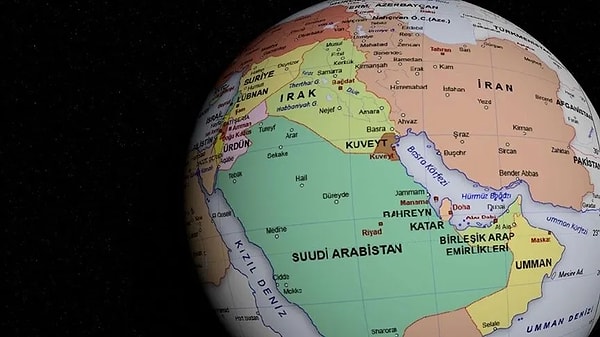
The traditional maps used today are based on the projection system developed in 1569 by Flemish cartographer Gerardus Mercator. This method, designed specifically for sea voyages, dramatically enlarges the size of land masses as one moves from the equator towards the poles when transferring the spherical world onto a flat surface. This has led to regions like Africa, South America, and South Asia being perceived as much smaller than they actually are for centuries.
In the widely used Mercator maps, Greenland appears almost the same size as the continent of South America, but when actual geographical data is examined, the area of the African continent is a full 14 times larger than Greenland. In a resolution adopted by the UN General Assembly, it was stated that this size difference in maps is not merely a technical drawing error. The text of the 'Correct the Map' campaign noted that this visual distortion has paved the way for the economic powers, geopolitical significance, and development potentials of Africa and Southern Hemisphere countries to be overshadowed on the international stage.
Keşfet ile ziyaret ettiğin tüm kategorileri tek akışta gör!
 Test
Test
 Gündem
 Magazin
 Video
Video



Send Comment