


What Is Geomorphology? The Science That Explains How Mountains, Valleys And Coasts Take Shape


Geomorphology is the branch of geology that describes and classifies landforms and studies the forces and processes that shape them. The word combines the Greek 'geo' (Earth) and 'morph' (form). The American geologist William Morris Davis, often called the father of the field, is credited with shaping it into a discipline in the late 19th century.
Here is what you need to know about geomorphology.

Geomorphology began as a descriptive science and became a precise, quantitative one.
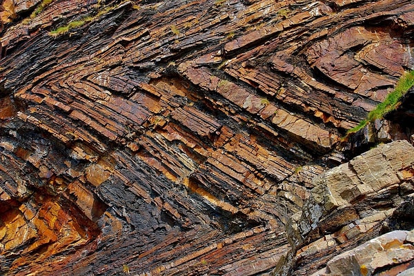
In the late 19th and early 20th centuries, geomorphology was seen as a mainly descriptive, backward-looking field closely tied to historical geology. Davis's best-known idea, the 'cycle of erosion,' offered a simple model of how landscapes evolve over time.
By the middle of the 20th century, that approach had fallen out of favour and a more physics-based model took its place. Early geomorphology, like many young sciences, focused on description rather than prediction and tended to be qualitative, comparing loosely defined qualities such as 'fast' and 'slow' or 'hot' and 'cold.' From the 1950s onwards, the field adopted quantitative methods and became a far more exact science.
As part of this shift, geomorphology began to treat Earth's physical features as systems of complex, ongoing interactions, and it became increasingly interdisciplinary.
Mountains, plateaus and valleys are its core subjects, and it borrows from many other sciences.
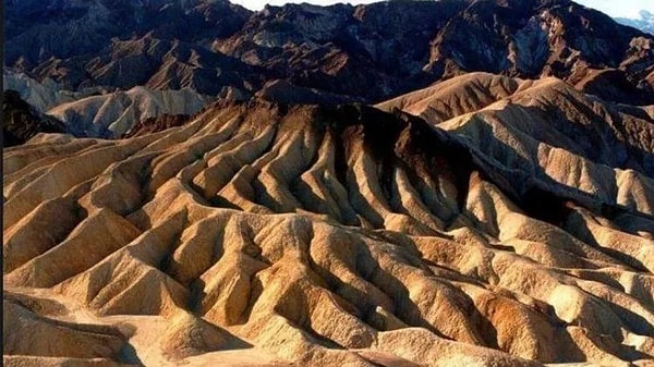
Geomorphology deals with landforms. Mountains, plateaus and valleys are among its main subjects. Classification has always been part of the field, and the first scientists working in it focused on sorting landforms into types. Another major area is understanding how those landforms came to be.
People who study landforms rarely work in just one specialty. Its branches include deep-sea geomorphology, which draws on oceanography, and planetary geomorphology, which studies landscapes on other planets.
A geologist studying coastal geomorphology may draw on fields as different as fluid mechanics and sedimentology. Researching processes such as erosion and mass wasting requires knowledge of soil physics and chemistry as well as atmospheric science, and borrowing from geophysics and volcanology is almost unavoidable.
In practice, geomorphology helps map hazards and plan construction.
What applied geomorphology does
Reconstructs how the landscape around archaeological sites has changed over time
Detects and measures erosion
Identifies areas at risk of landslides
Identifies places at risk of flooding
Supports road construction projects
Alongside these practical uses, geomorphology also works as a purely theoretical science.
Keşfet ile ziyaret ettiğin tüm kategorileri tek akışta gör!
 Test
 Gündem
 Magazin
 Video



Send Comment